Toe Cove, Nancy Sound
Tuesday 10 March 2020
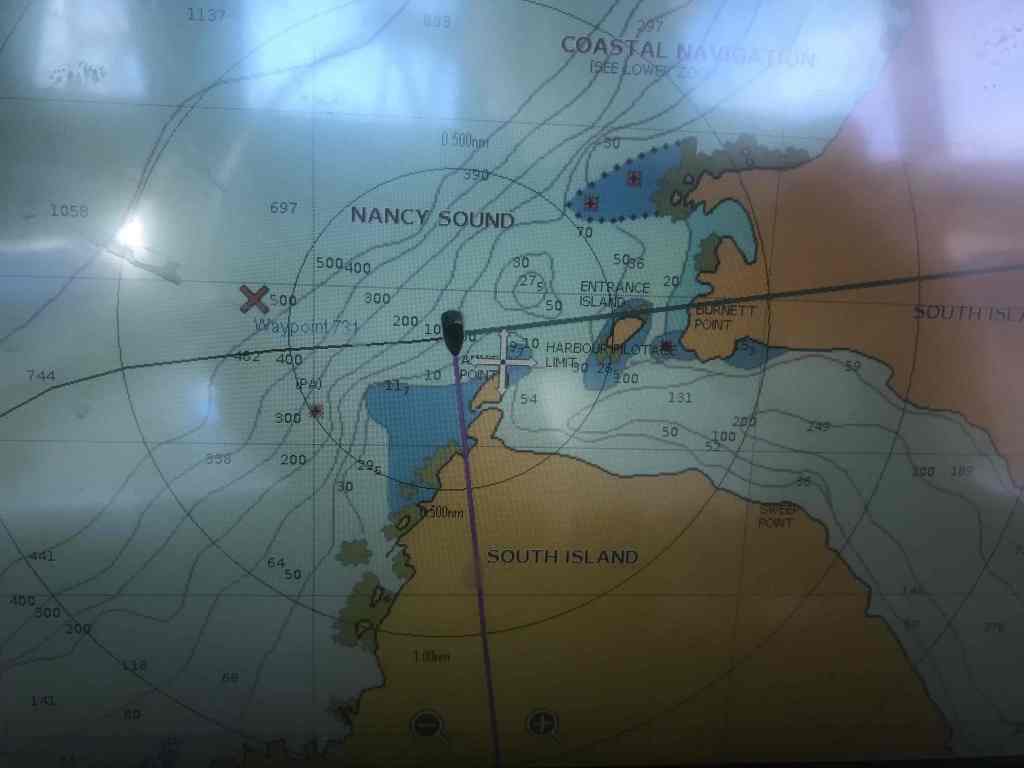
This was definitely an anchorage inspired by body-parts today. Derived from the fact that Nancy Sound – our anchorage for the night – is shaped like a leg. Nancy’s leg possibly, although the Cruising Guide doesn’t go into detail, other than to say the Sound is named after one of Captain John Grono commands, the “Nancy”. (Captain Grono being a sealer in these ‘ere parts from the early 1800s).
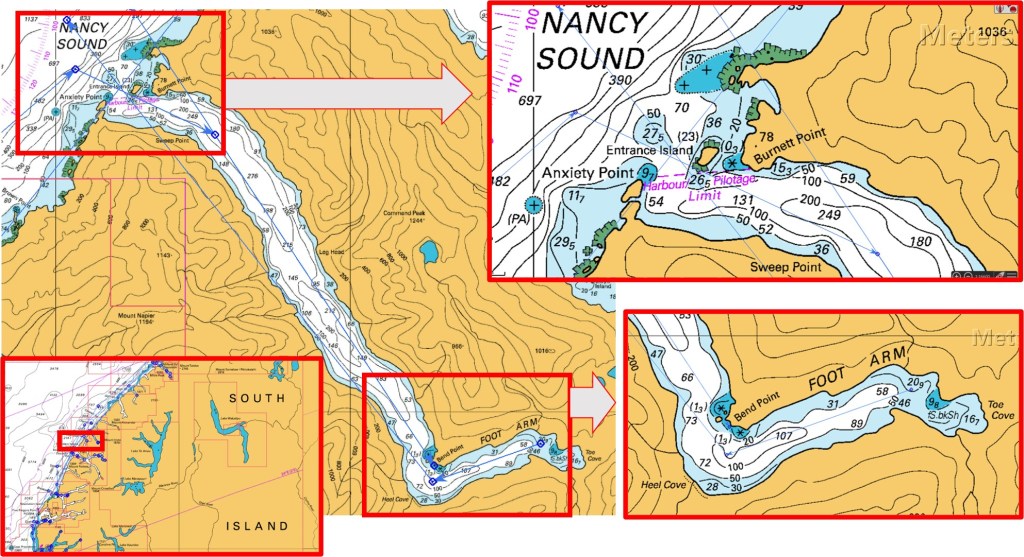
At the far end of the Sound, there is a bay called Toe Cove, then along the way there is Knee Bend, Leg Head and Heel Cove and at the other end – the entrance – there is a feature called “Anxiety Point”. Named, I’m sure, by someone who had to enter this enclosed water-way with a big, onshore sea running. The Point is just a pile of big rocks, seemingly blocking the Fiord’s opening, until you get close enough to see another pile of rocks called Entrance Island. If you’ve got this far, it’s then a simple right, then left, past Sweep Point and you’re home! As for the reference to an “arm”, this could be a little confusing until you realise it’s a reference to this branch of the Fiord – great language English!?

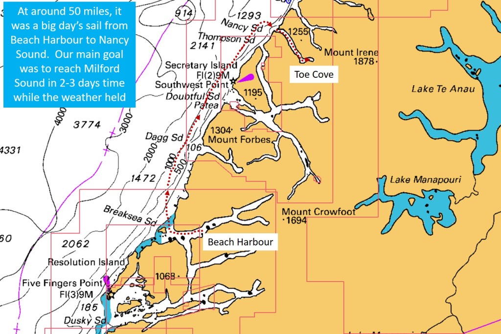
We chose Nancy Sound, after leaving Breaksea Sound 35 miles to the south, because it constituted a full day’s sail – after taking into account the additional 10-15 miles of travel, out of, and into each Sound.
We HAD intended dropping into Doubtful Sound on our way north, but in the end, we were running out of time; with Linda, Matt and James needing to catch a bus out of Milford Sound on the afternoon of Saturday 14 March, less than 5 days away.
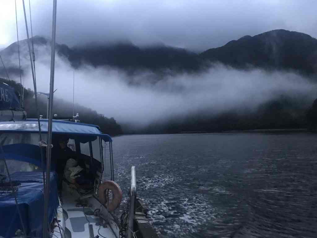
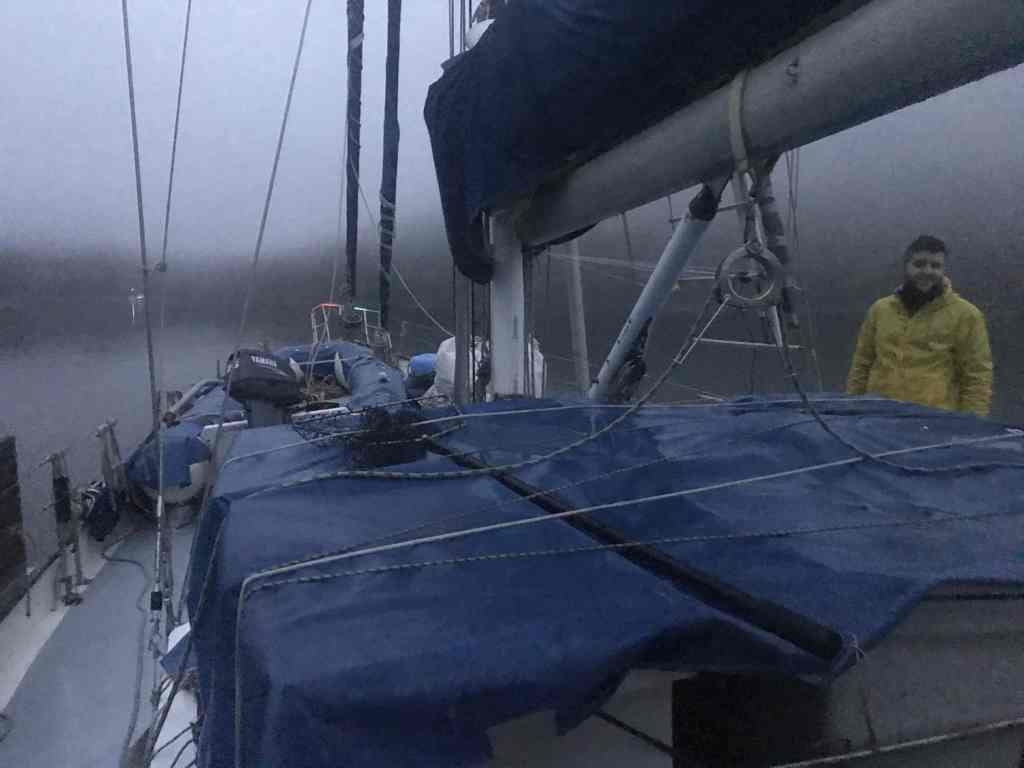
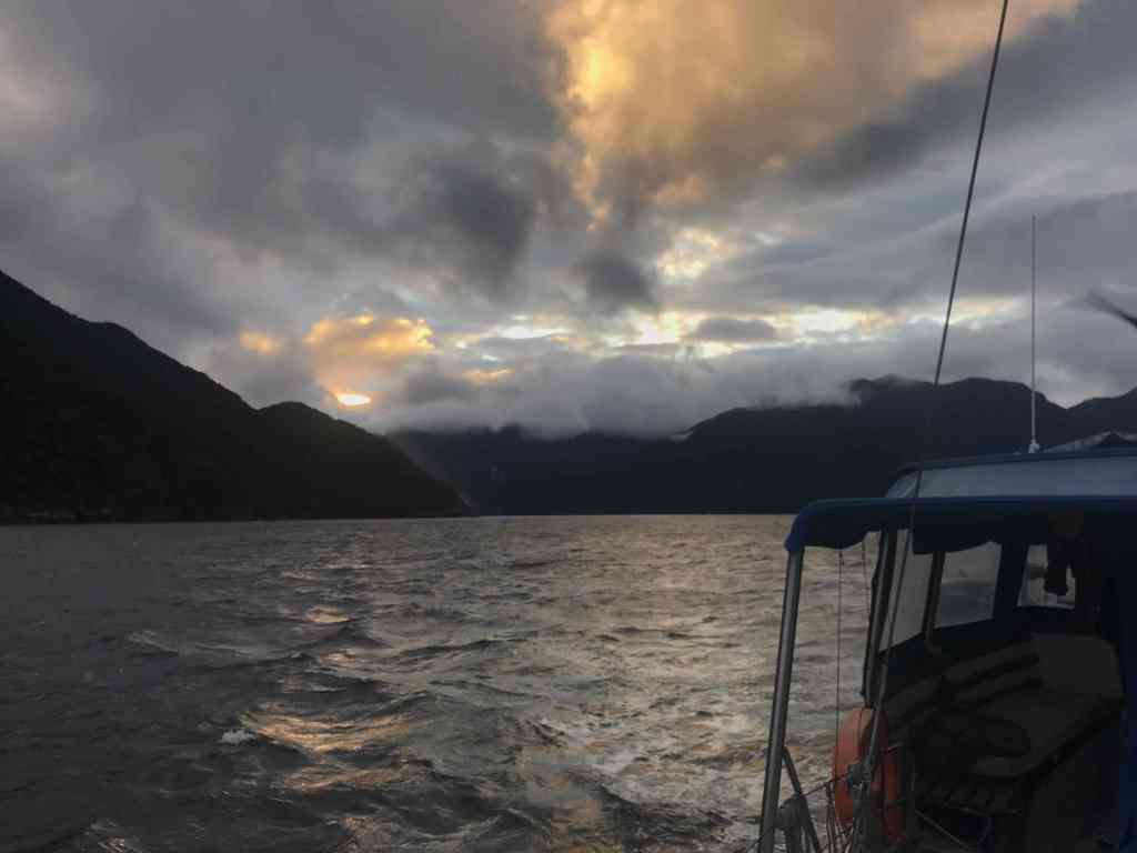
In leaving Beach Harbour, it was nice to be able to simply slip our mooring, rather than having to go through the process of retrieving the anchor. Overnight, the rain cleared, with low cloud and mist hanging low around the enclosing mountains as we made our way the short distance to the entrance.
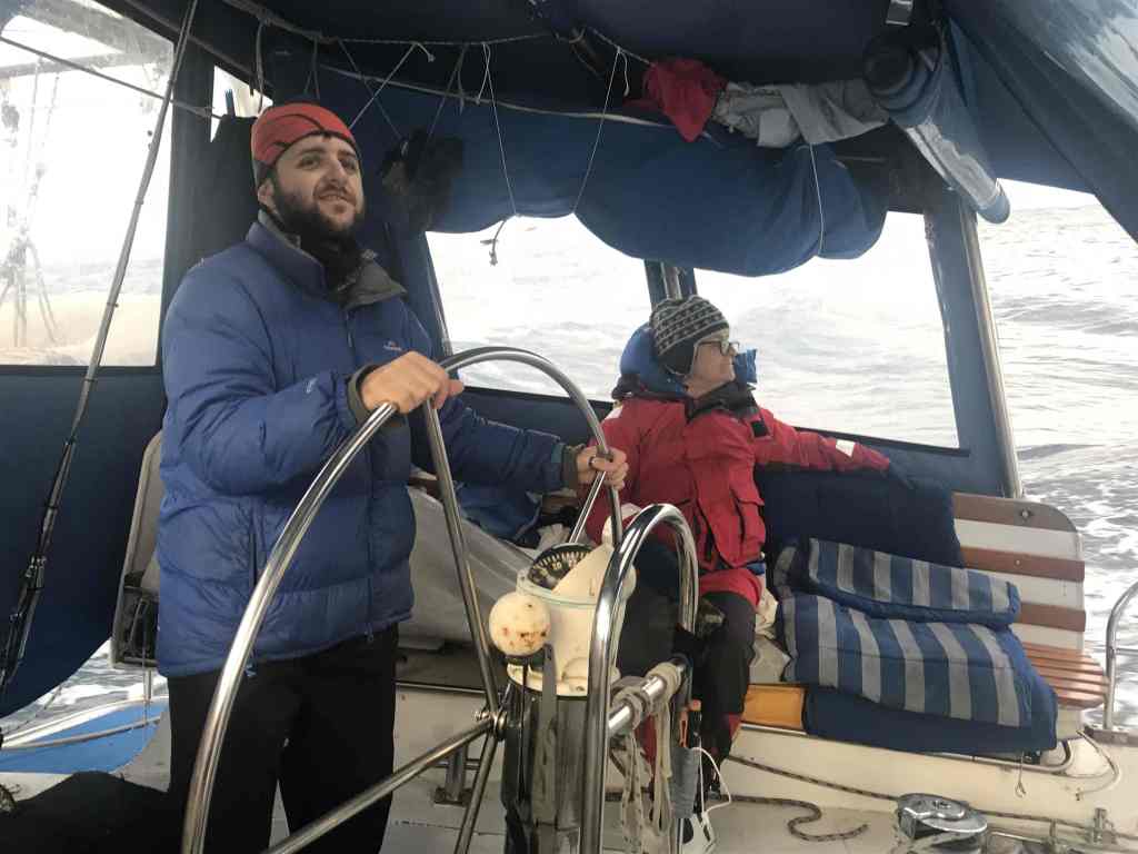
Keeping Breaksea Island on our port side, we made our way out into the Tasman Sea and set a course north. We were hoping to be joined by a promised Southerly breeze, to help push us up the coast, but this obviously had other ideas. In its place we were left with a rather rolly, uncomfortable sea, and an “occasional breeze”, mostly when we passed by the coastal opening’s to bays and Sounds, which funnelled the wind out to sea.
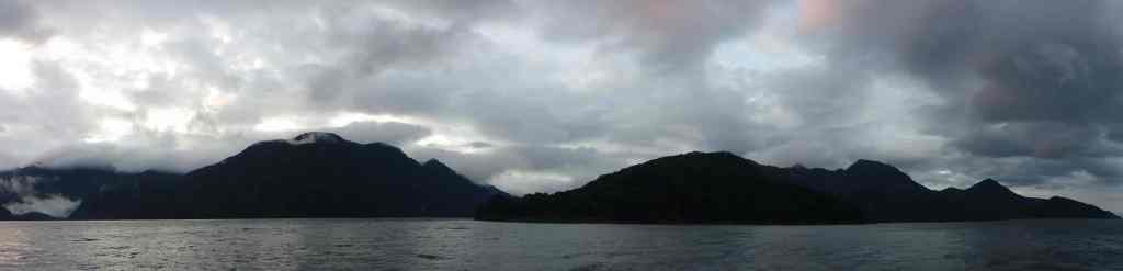
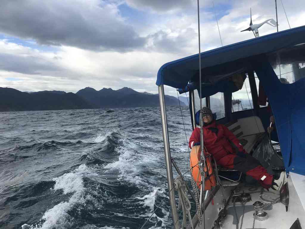
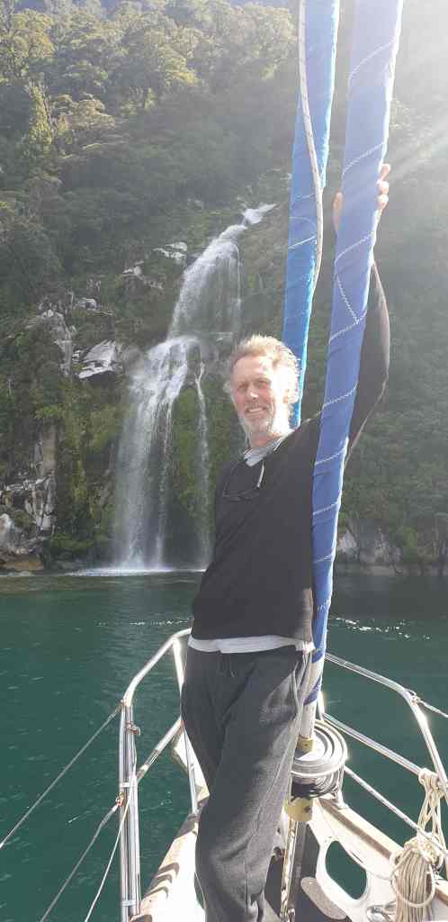
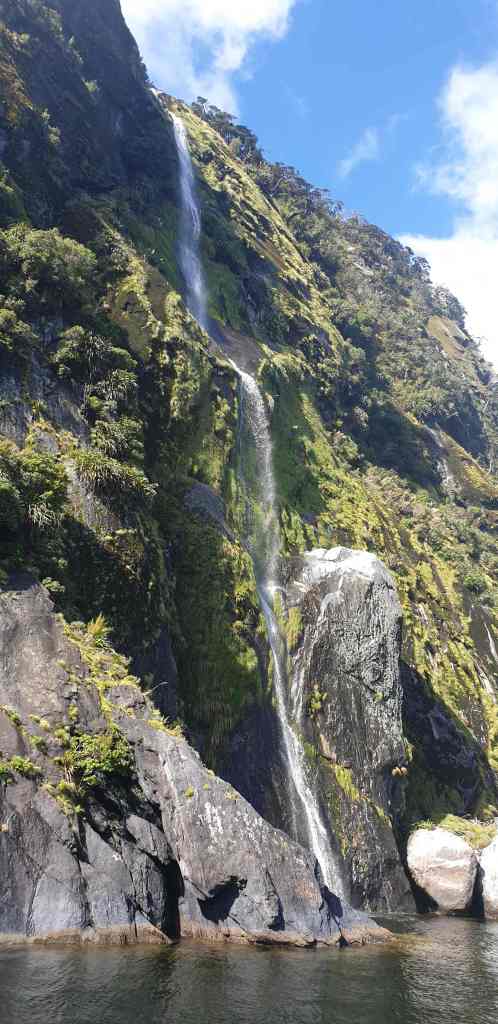
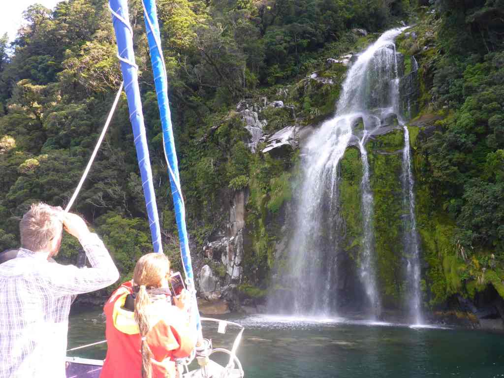
But at least the sun came out, causing us to remove our wet weather gear, as the temperature climbed. Off to our starboard side – maybe 2 miles distance, there was a progression of stunning coastal scenes, intermingled with waterfalls – the product of the recent rains – cascading down from the tree-covered hills and mountains that rose inland, almost from the high-water mark.
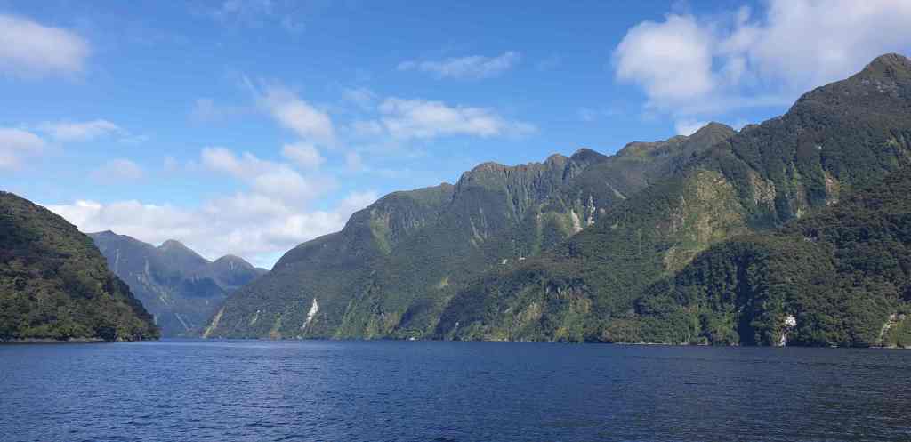
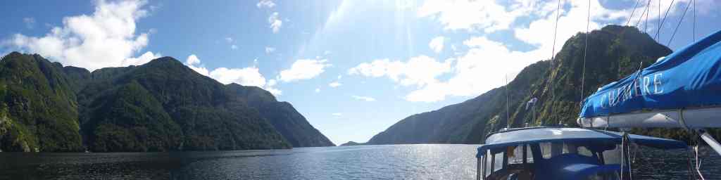
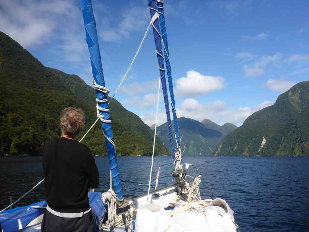
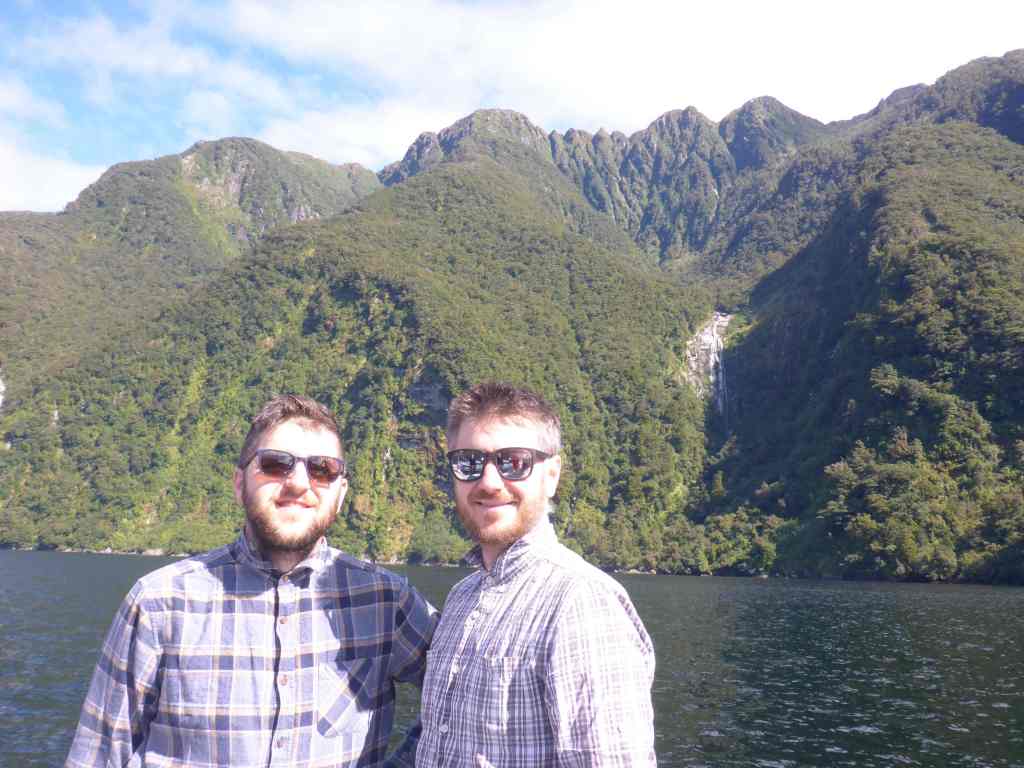
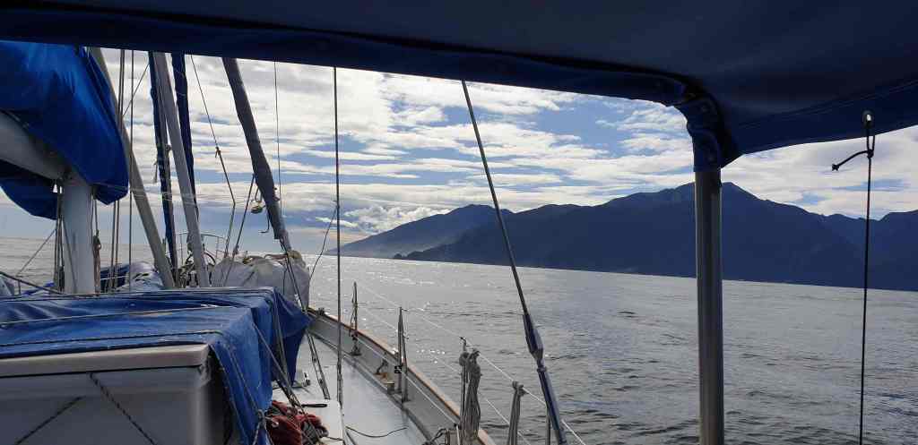
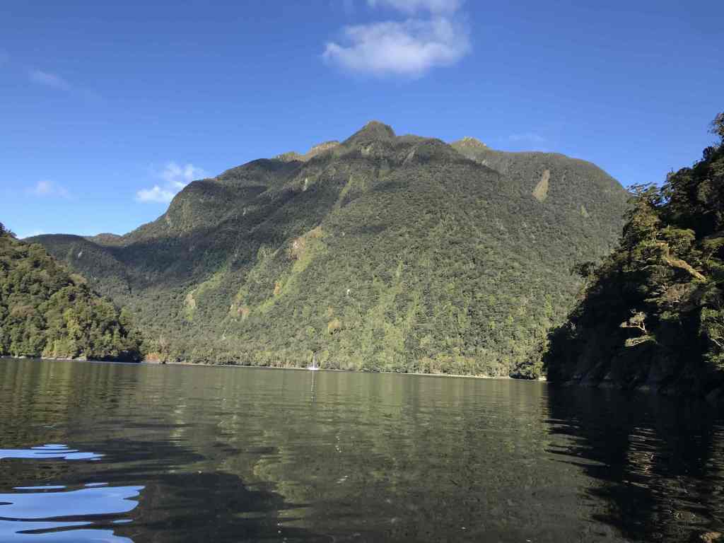
If we had more time we’d have explored each of the Fiords in turn. As it was, all we could do is tick them off as we chugged along … Dagg Sound, Doubtful Sound, Thompson Sound … then Nancy Sound; unkindly described in the Cruising Guide as, “… one of the least interesting of the fiords to visit.” All aboard agreed this was a bit harsh, with the narrowness and steepness – not to mention the beautifully still, sunny weather – making this one of our favourites.
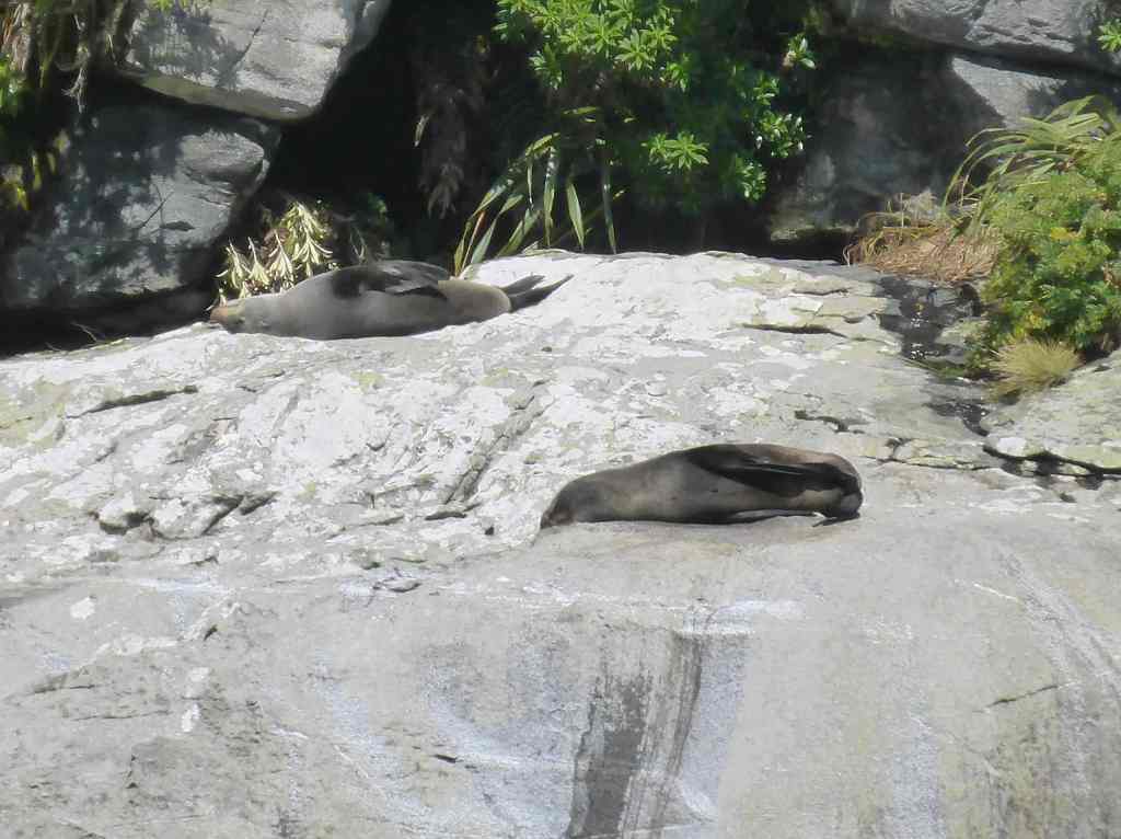
There were also the three New Zealand Fur Seals sun-bathing on a large rock as we entered the bay, with two of them remaining, despite us pulling up next to them for a proper gawk and photo op.
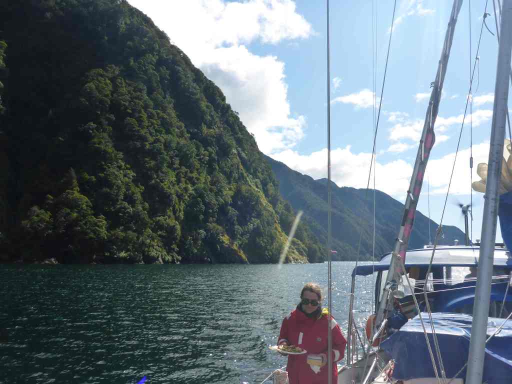
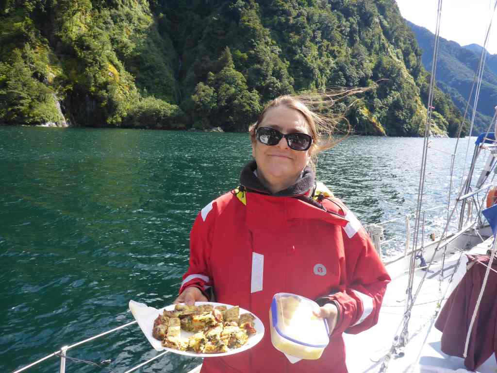
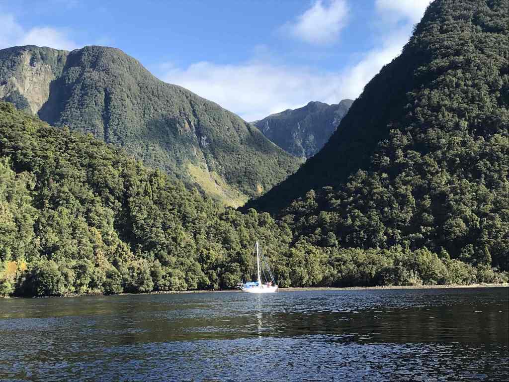
Nancy Sound’s waterfalls were no less impressive than others we’d seen, with the flat-calm Tow Cove presenting an expansive basin in which to anchor, surrounded by mountain peaks and fed by maybe 3 or 4 streams.
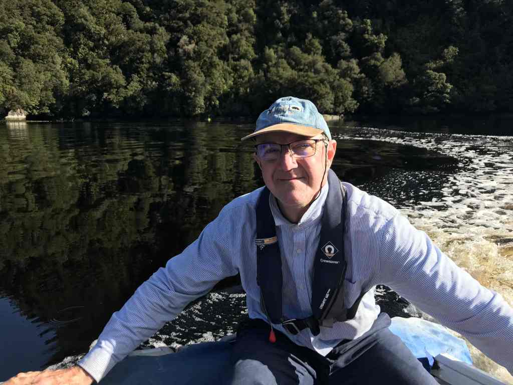
It wasn’t long before we’d launched the dinghy, with Linda and I going for a spin back up the bay as the warm afternoon sun lingered. Back on Chimere, clotheslines were hung all over the foredeck, with all the wet weather gear out for drying, along with anything else that needed an airing.


A small frustration, which we attributed to the steepness of the mountains was that it was virtually impossible to get sufficient satellite coverage to transmit the blog and download a weather forecast. All I got, time and time again, were frustrating commands very much like the following…
07:01:45 Attempt 1 of 1
07:01:45 Opening connection to xgate.gmn-usa.com
07:01:45 Connecting to Network Connection…
07:01:45 Dialing Iridium GO! at 192.168.0.1:80
07:01:46 Authenticating
07:01:51 Signal strength of 0% is insufficient to sustain connection
07:01:51 Disconnecting from device…
07:01:52 ERROR: Dialup failed
07:01:52 Finished.
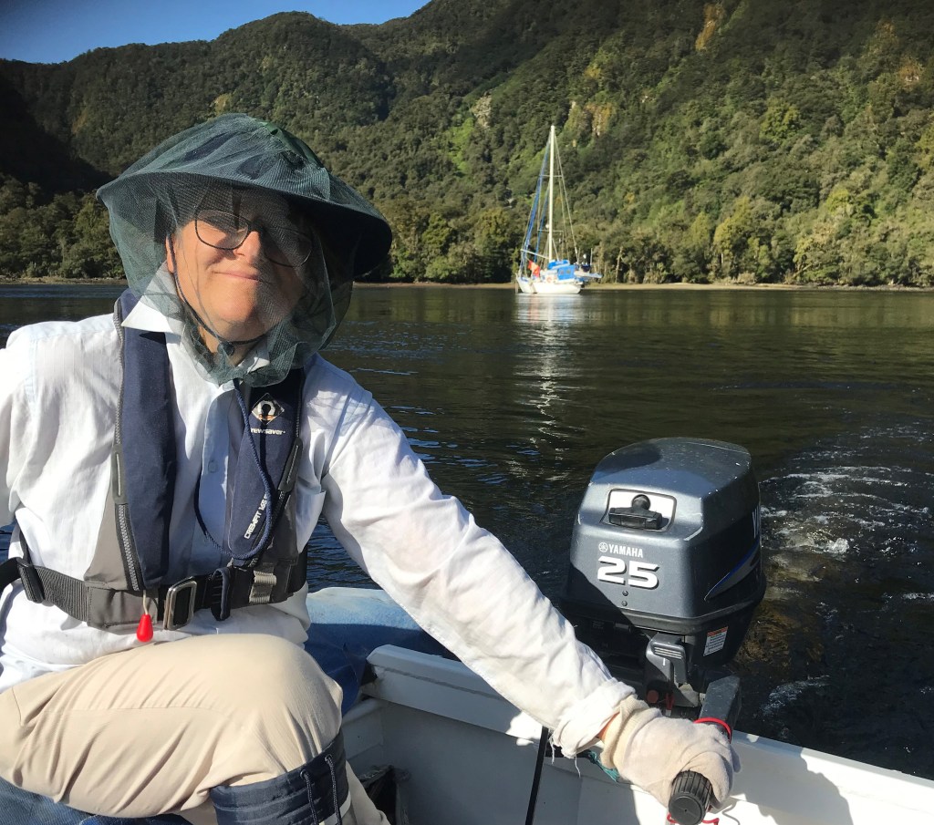
As the collective number of bites and itchy swellings progressively increases, we are becoming ever-more vigilant in putting up flyscreens and rugging up when we venture out, or go ashore. John seems to have a form of home-ground-immunity, whereas the rest of us seem to be suffering more. Not always in silence, it must be said, with the first aid kit being raided progressively for evermore effective remedies.
Smooth seas, fair breeze and Nancy’s Foot Arm
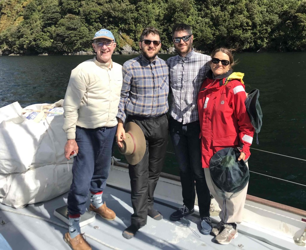
Rob Latimer
PS I’m still looking for extra crew to assist with the 8-day voyage, from Milford Sound to Wellington, starting on 14 March. If you or a friend want to join us, please sing out ASAP. Email me on the satphone at … msm1@clientsatmail.com.au and latimerfamily4@gmail.com but remember, no file attachments)
