Friday 23 July 2021
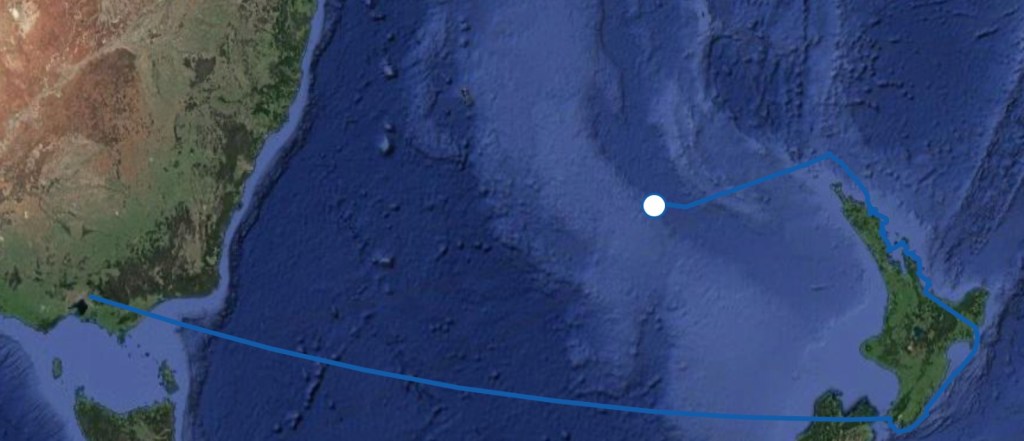
370 Miles WSW of Cape Reinga (NZ)
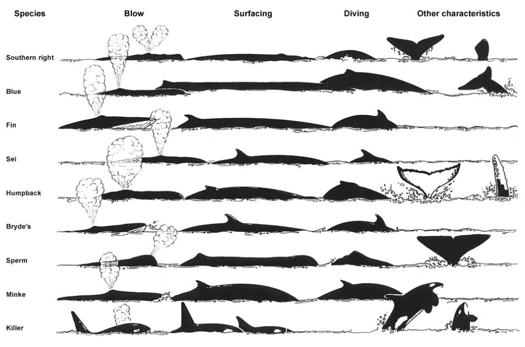
The highlight of today – after spying the occasional spouting whale in the distance over the past couple of days – was most definitely the arrival of at least three whales, (which we assume are humpback – but we can’t be totally sure – refer to identification chart below) right next to us.
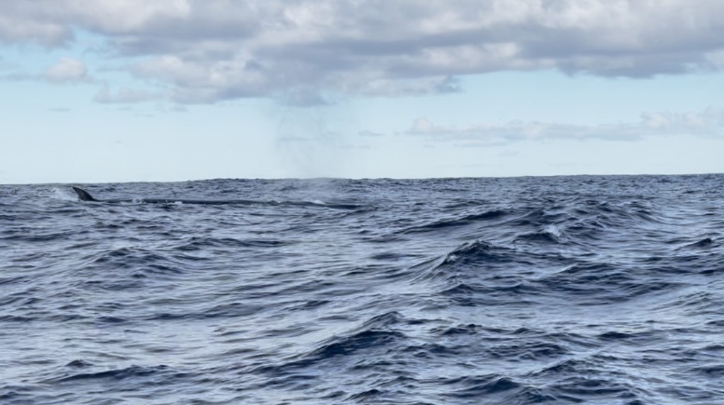
One even escorting us for a few minutes, its light-coloured markings clearing visible a couple of metres below the waves as it glided along. Then, as it surfaced for air, the unmistakeable outward blow of air accompanied by a spout of spray high into the air, and the inward gush as it drew in breath once more.
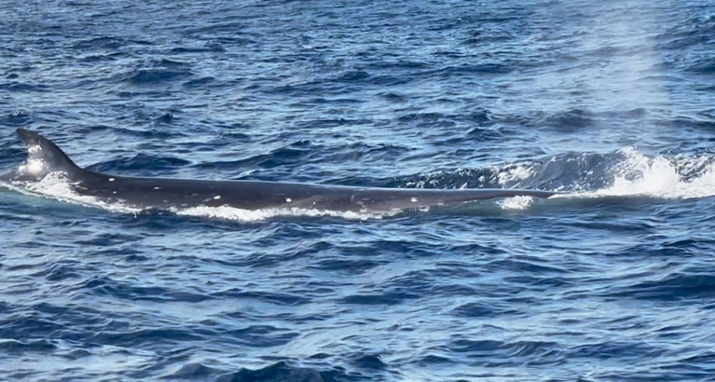

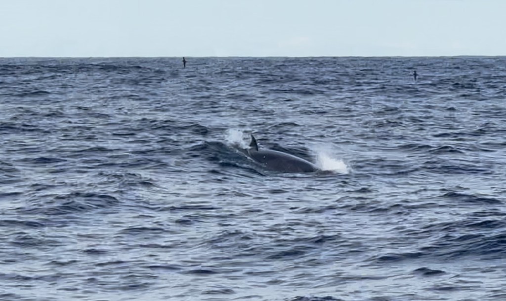
Clearly, they weren’t aware of the “Proximity to Boats” rule, with one animal coming in at right angles on the port bow, then diving below and out of the way as Harm called from the cockpit … “will I change course?”. This particular fellow re-surfaced on the starboard side, taking a few more glances at us as it moped along, then diving out of sight.
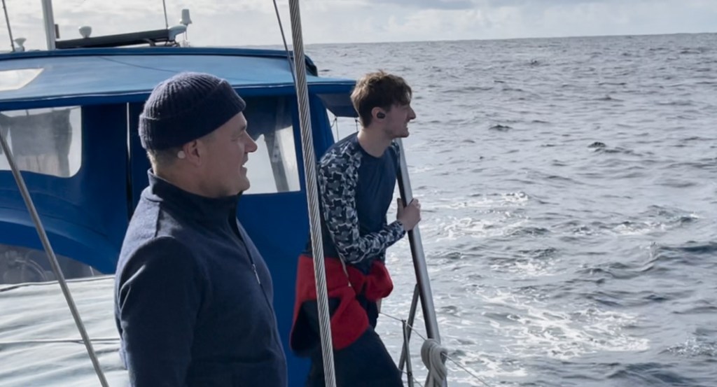
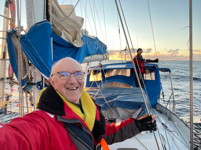
At the time, Matt was asleep in his bunk but soon joined Harm, Sam and I, crowding the side-deck, excitedly gawking into the nearby sea, virtually willing the leviathan to take another breath; all the while seemingly holding our own collective breaths in anticipation. When I say, “we were excited” … there’s clearly a visible 1-10 scale by which can be measured … Sam, peaking-out at a score of 11, us older and more-measured folk … Matt, Harm and me, coming in at maybe an 8 or a 9.
To paraphrase a Monty Python sketch from years ago … “a whale is like a big jam doughnut with cream on top … its arrival gives us pleasure and its departure merely makes us hungry for more…”
We naturally took lots of photos and video … the best of the photos will be uploaded when we get back in dock; or within internet range.
Speaking of being back in dock, we’ve now travelled 400 (direct) miles from Opua with around 800 miles to the eastern edge of Bass Strait, then a further 200 miles to Hastings in Westernport. How many miles we end up, actually travelling, will depend largely on the direction and strength of the wind.
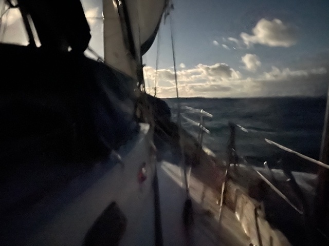
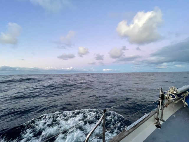
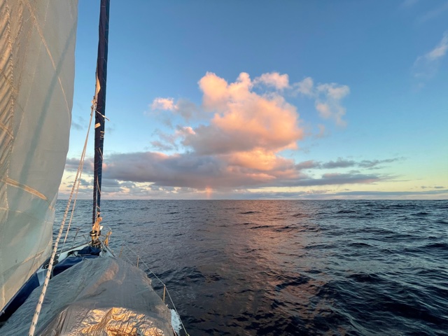
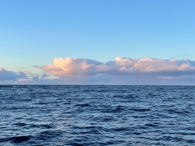
At the moment, well, at least since early this morning, we have virtually no wind. The rolly remnant-swell-of-a-sea has us moving this way and that, the engine pushing us along at around 5 knots. The sails have been stowed away, their flogging not only makes a dreadful racket, but also shortens their life; along with the expensive ball-bearing-filled “cars” that run the mainsail up the metal mast track.
Having no wind, for a time, was all in the long-range forecast, and according to Matt’s optimal track-model, we are pretty much where we should be. From here, there should be a bit more motoring till later tonight, when a north east breeze develops; building into a stronger force – in the 25-35 knot range – over the following 36 hours. That takes us into the early hours of Sunday when a cold front, accompanied by a westerly blow is expected to dominate.
This is when we head south, taking the wind on our starboard side, down to the approximate latitude of Bass Strait … roughly 39 degrees South. From here we’ll take our lead from the forecasts at the time, with the option of gaining shelter in the lee of Flinders Island if necessary; never stepping ashore of course … we can only do that legally once we finally dock at Westernport.
Well, that’s probably more weather-talk than you needed or expected … but next to the topics of food, sleep and who’s next on watch … weather, and our chosen course … are right up there; probably at the top of the list, if truth be told, as they have a big bearing on the others.
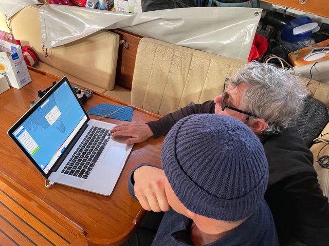
For those who’ve been trying to find us on the Tracker Link … sorry for the recent (further) break in transmission. Yesterday, it was our chart plotter – renamed HAL – (if you don’t know who “HAL” is, just ask Siri. Better still, repeatedly ask Siri to … “open the pod-bay doors HAL” … and hear her response) that was creating interference with transmission. Today it was the actual location of the Iridium device. It seems there are times in the day when it’s location Velcroed just above the nav table doesn’t secure a GPS signal. Hopefully, all is now better!
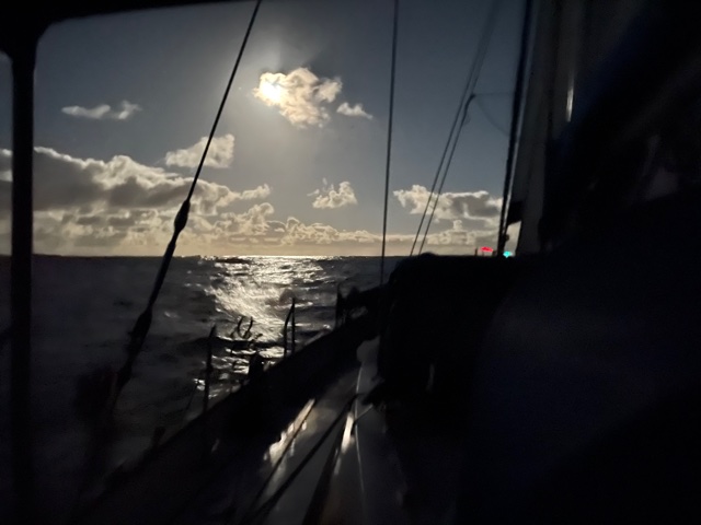
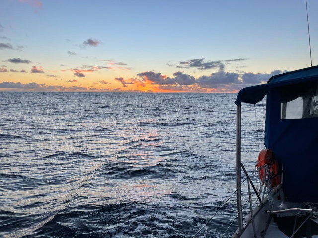
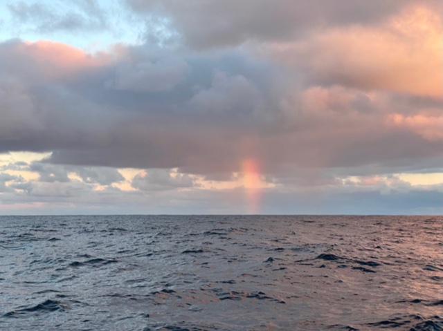
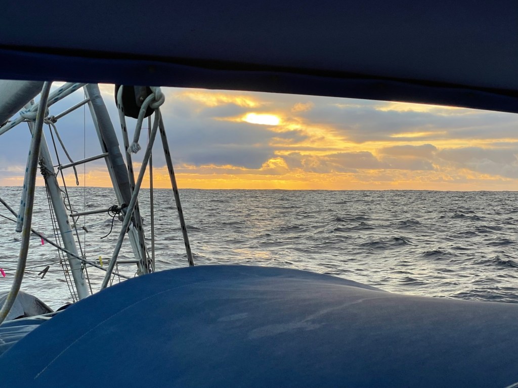
We have just witnessed another wonderful sunset on the bow … a suitable book-end to the glorious sunrise on the stern not more than 11 hours ago. Thinking of the all the electronic gear on board … if it decides to close down, or is brought under HAL’s control and used against us, then so long as we keep the sunsets at the front and the sunrises at the back, we can’t go too far wrong. Pretty much … exactly … the reverse of when we sailed to New Zealand in January last year.
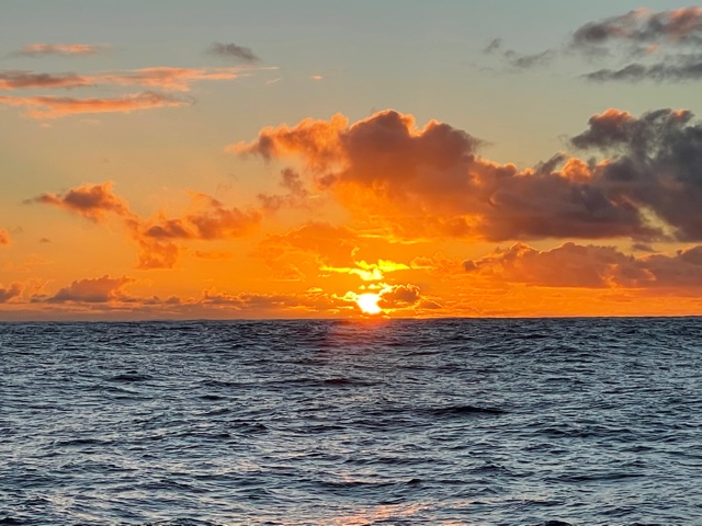
As for this morning’s sunrise, I really wish I could upload the photos. As sunrises go, this was one of your real beauts. Totally golden and almost glowing with the clearly round ball of the sun resembling a hydrogen bomb at the point of ignition.
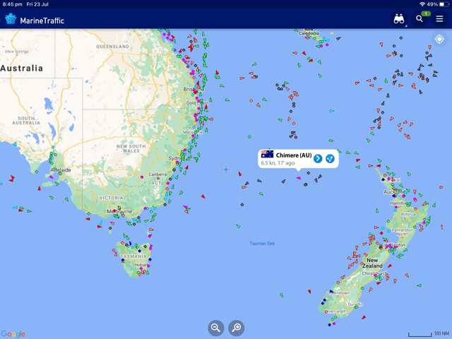
Some people might be aware of the website … www.marinetraffic.com … basically, it’s a site that shows all major vessels, around the world, live, on the one map – probably around 100,000 vessels. They are all divided up into coloured icons … dark blue for cruise ships, red for tankers, green for cargo ships, and pink, (or is it light red) for “pleasure vessels” such as yachts and motor boats. The data from each vessel is gathered via a thing called “AIS”, or Automatic Identification System, which is transmitted and received through the VHF radio.
Not only can you see the vessels displayed on the Marine Traffic website, but each vessel should also be able to view others in close proximity, on their Chart Plotter. It helps when maintaining a watch, because it gives advanced warning of who else is out here.
Last night for example, there was a small triangle shape on our screen and on further investigation it revealed a “No Named” boat doing 12 knots, travelling in the exact opposite direction to us – parallel to us – but just 15 miles to our north. So far, we haven’t seen any other boats or ships out here, and we didn’t even see the nav lights of this one, but it’s certainly a good reminder why we maintain a 24-hour watch, because after all, not all vessels have AIS, or like a lot of fishing boats, they don’t seem to have it turned on. It’s a case of definitely looking out for their lights
If you want to find Chimere on the Marine Traffic website, you can do a search, which will mostly find us if we are in port, or close to the coast. While we are out at sea you need to subscribe to the “Satellite Version” to view our data online. Alternatively, you could just go to the world map on the website and zoom into the Tasman Sea, roughly 1/3 the way between New Zealand’s North Cape and the Victorian border. There you’ll see a little pink dot … with no vessel details (unless you’ve paid) … that’s us. Trust me, there are few to no other “Pleasure Craft” out here.
Harm has just asked the all-important question … “what does everyone want for dinner?” … so it’s time for me to sign off. As for the answer … “anything you cook Harm!”
Smooth seas, fair breeze and a whale escort
Rob Latimer

Thanks for the updates! Very interesting. Wonderful for you to see the whales so up close!
LikeLike
What a wonderful adventure you are all having. In the footsteps of the great explorers!
Best wishes
Rose Latimer
>
LikeLike
I don’t think I would be enjoying the trip, if I was there, but it is still great to hear about it. I hAve been thinking how cold it has been here, now it seems very comfortable. Of course you prob. know we are in lockdown again, it seems to be the only way, so I haven’t been out and about. The Bulldogs just beat the Demons tonight, so we are on top of ladder. No more news love Carmel xo
LikeLike